slepaulica:
Yes! I was just talking yesterday about coping mechanisms for a bad sense of direction, and I think something like that would be helpful for me. (I’d do terribly at first, yes, but it would encourage me to study and show me how I was progressing.)
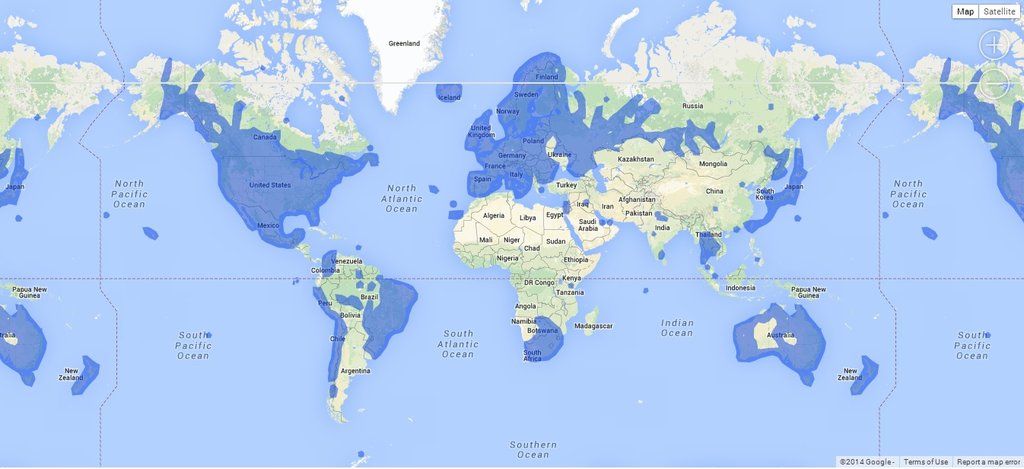
Does google maps have street view where you live? Maybe you could make your own game (not coding something, just loading google maps and wandering around with a goal in mind) where you put yourself down somewhere in the city (near home to start) and have to find your way home?
Level 1: start a block away from your house, different direction each time. google maps will have you facing in a random direction probably. try to find your way home.
Level 2: start a couple blocks from home. same goal: try to get home.
gradually proceeding to about as far as you’d reasonably end up walking, then move on to:
starting from home, walk until you find the nearest [place]. time yourself and try to beat previous times if that works for you. don’t time yourself if that’ll make it worse. different place each time.
example places: the grocery store, the library, the gas station, the park, the movie theatre, the river (if you have one), the pond (if you have one), where your friend lives, your favourite tree (if you have one. i do; it’s one of the ones downtown. i say hi to it every time i see it.), your favourite restaurant, a restaurant that is near home, the hill (if you have one), the train station, the nearest tram stop, the ice creamery. any place that is meaningful to you really.
another thing you can do (level: hard): find the nearest tram stop for a tram you’ve taken before and try to trace out its route.
—
+ it actually might be possible to take a screenshot of your neighbourhood on satellite view on google maps, photoshop the street names out, print off a bunch of copies, and work from there with a pencil. you’d have to grade them yourself though.
+ another thing you could do: take a camera with you and take a photo every ten steps while you go somewhere. then later you could look at the pictures of the story of how to get somewhere. i used to do this for my girlfriend before google maps did street view in my city. it was pretty fun. we had “going downtown to pay rent” and “going to my favourite restaurant” and “going for a walk with the cat”. and then we’d look at them on skype together.
Street view? I wish. They haven’t even updated the satellite view since spring 2006. My driveway has the previous owner’s car in it, and my dentist’s office is an empty lot.
I’m okay with the stuff within walking distance (except the housing development, but I only go there for trick-or-treating (so it would still be useful one night a year)). Trouble is, I’ve been learning to drive (no public transit pick-ups and few stores within walking distance, so I pretty much have to) and realising that even after being driven around this county often for over six years, my knowledge of the parts outside my village consists of a bunch of disconnected pockets a few blocks long. I’ll know when I’m close to, say, the grocery store, and I’ll know when I’m close to the computer repair shop, but how to get from one to the other? No idea.
(Actually, they might have street view in the city proper. Let’s check a couple example places.
Walmart: yes, image taken April 2009. Grocery store: yes, image taken August 2011. This might be a workable idea after all.)
Tags:
#fun with Google Maps #useful things #reply via reblog